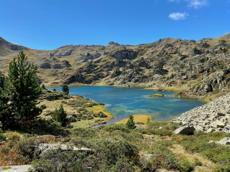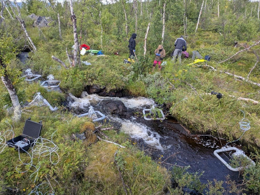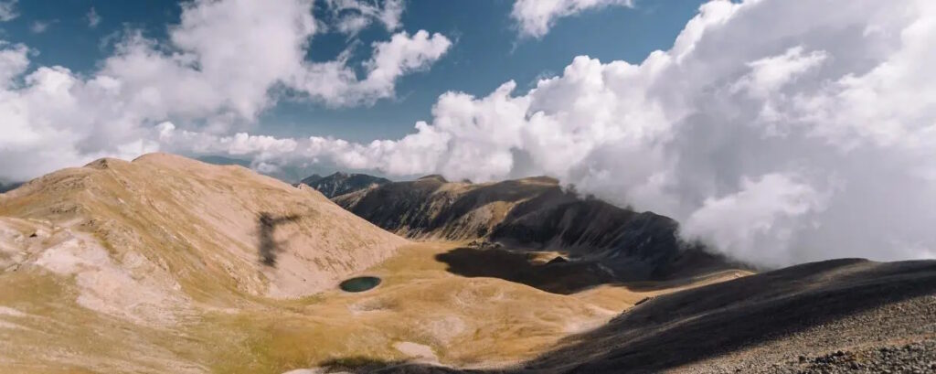
The catalogue is available online and provides information on 6,361 lakes and ponds across the Catalan, Spanish, Andorran and French Pyrenees, each assigned a unique ‘ID card’ to facilitate research. The data include geomorphological characteristics, such as surface area and depth, as well as place names (official names, alternative forms and historical designations). The inventory also includes temporary ponds.
Some lakes in the Pyrenees have changed their names throughout history, others are more than 100 metres deep, and many small pools dry up in summer but are home to organisms capable of surviving until the water returns. The first inventory highlighting the richness of these aquatic ecosystems has now been published, bringing together information on 6,361 lakes and ponds across the entire mountain range, including those in Spain, Catalonia, Andorra and France. The catalogue, named LacusPyr and published in the scientific journal Geoscience Data Journal, includes data such as the surface area, depth and catchment basin of each body of water, as well as its official name, alternative names and historical designations. It also assigns each one a unique georeferenced identifier, a kind of ‘ID card’, to facilitate identification and scientific research across different countries.
The creation of the inventory and its publication in the scientific journal were led by CREAF, in collaboration with the Spanish National Research Council (CSIC), the Centre for Advanced Studies of Blanes (CEAB-CSIC), the University of Barcelona (UB) and the Autonomous University of Barcelona (UAB). ‘This inventory is particularly important because georeferencing allows information to be organised and confusion in scientific studies to be avoided. It is also accessible to anyone interested in finding out the official names and locations’, explains Jordi Catalan, a researcher at CSIC and CREAF and the study’s lead author.
Regarding place names, the researcher explains that names can change as a result of cartographic errors, differences in pronunciation or spelling, or because one name has become established at the expense of another. ‘In the catalogue, we have recorded the currently official name, but also its variations.’
A particularly illustrative case is that of the Plan and Cabidornats lakes, located in the Val d’Aran, in the Colomèrs cirque, within the surroundings of Aigüestortes i Estany de Sant Maurici National Park. Their names have been interchanged in official maps over recent decades, and the names used in mountain guides do not always match those subsequently adopted in official cartography. This confusion has also found its way into scientific literature, with some studies using names that, following later changes in place-name conventions, no longer correspond to the current cartographic designations. ‘In the inventory, we have recorded the original names and assigned each lake a code to prevent further confusion’, adds Marisol Felip, a researcher at CREAF and the University of Barcelona.
There are also examples of linguistic and phonetic variations, such as the forms Redondo, Redó and Redon. ‘There is a historical explanation here. For example, Redondo appeared on some maps during the Franco dictatorship, Redó on certain Catalan maps, while the current official name in Aranese is Redon, phonetically [reˈðuŋ]’, Catalan explains.
As for the terms used to refer to bodies of water, the publication also records geographical variations in generic terminology: in Catalan, ‘estany’; in Aranese, ‘estanh’ or ‘lac’, particularly for larger lakes. In Aragon, the term ‘ibón’ is commonly used to refer to high-mountain lakes.
Curious organisms living in temporary ponds
The smallest pools included in the inventory can have a surface area of just two square metres and, in many cases, do not even have a name of their own. Many are temporary and dry up during the summer, meaning that they are home only to species adapted to these intermittent conditions.
Among the most remarkable organisms are anostracans, crustaceans that may form very large populations. To survive when the water disappears, they produce resistant eggs that can remain in the sediment for a long time, until conditions become favourable again.
‘These temporary ecosystems and the organisms that inhabit them have received little scientific attention so far. In the new catalogue, we have also assigned a code to each of these pools so that they can be identified. This is a first step towards understanding these small, often overlooked habitats, which are nevertheless of great ecological interest’, explains Catalan.
Some of Spain’s largest and deepest lakes: Certascan, Cregüeña and Redó
The inventory makes it possible to compare the size and depth of lakes across the Pyrenees. For example, Certascan, covering more than 60 hectares, is one of the largest lakes on the Spanish side of the Pyrenees and the largest in Catalonia. Cregüeña, located in the Maladeta massif, is one of the deepest lakes in the Pyrenees, with a depth of more than 100 metres. Together with Lac Redon, it is one of the deep lakes that have not been modified for hydroelectric power generation and are therefore of particular conservation interest.