Skip to content

Microbial aerosolization and ecosystem services from ephemeral wetlands to arid areas

DRYLANDS

Aims to explore how regional topography and local changes in land and water use scale up to intercontinental dispersion, using metagenomics tools, high-performance computing, real-time satellite data monitoring, and atmospheric modeling.

Aerosol generation is a growing global phenomenon that transports and disperses particles, nutrients, and pollutants over thousands of kilometers, along with microorganisms and antibiotic resistance genes.

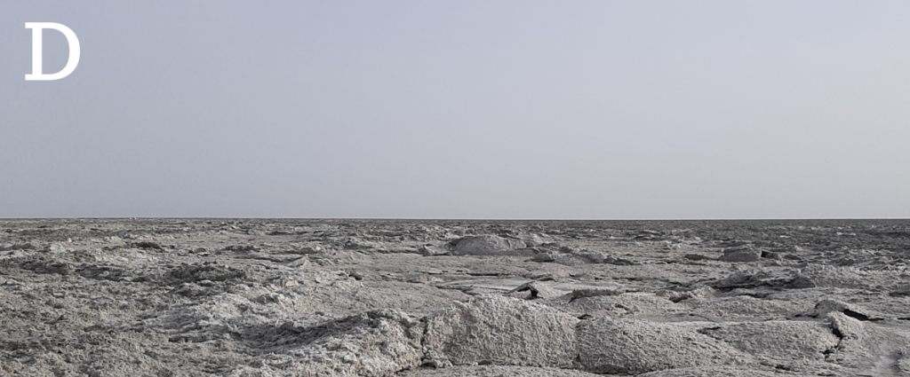
DRYLANDS aims to explore how regional topography and local changes in land and water use scale up to intercontinental dispersion, using metagenomics tools, high-performance computing, real-time satellite data monitoring, and atmospheric modeling in the Ebro Valley and surrounding area. Shallow wetlands in arid zones can substantially reduce aerosolization and provide an ecosystem service that has not been sufficiently valued until now.

– Competitive MICIU National R&D Plan Project

#aerobiology #intercontinentalconnectivity #microbiology #globalchange #modeling #Earthsystem

General project information

Project code

PID2024-158368NB-I00

Financing amount

260.000€

Development period
Start

01/09/2025

End

31/08/2026

Responsible researcher

Research Professor

Funding entities

Institutions/collaborators

Social networks of the project

You may also be interested in

Cross-border project to detect and monitor non-indigenous marine species in Catalonia and Occitanie, enhancing scientific cooperation, citizen participation, and management of impacts on ecosystems and coastal economies.
DryingLake addresses the problem of inland water desiccation, which is increasingly affecting ecosystems worldwide due to both climate change and the diversion of water for irrigation.
By combining satellite images, remote sensors, and field data, the project will provide effective tools to help managers and policymakers monitor and assess coastal carbon ecosystems and integrate blue carbon into national climate inventories and policies.
The Network's main objective is to foster collaboration between national and international research groups to advise society and authorities on the key role of BCEs.
It proposes to develop an innovative and non-destructive method to quantify carbon stocks. This method will use advanced technologies such as geoacoustics, autonomous vehicles, drones, satellite imagery and artificial intelligence, also allowing the exploration of “hidden” carbon deposits under layers of sediment, which have so far been ignored.