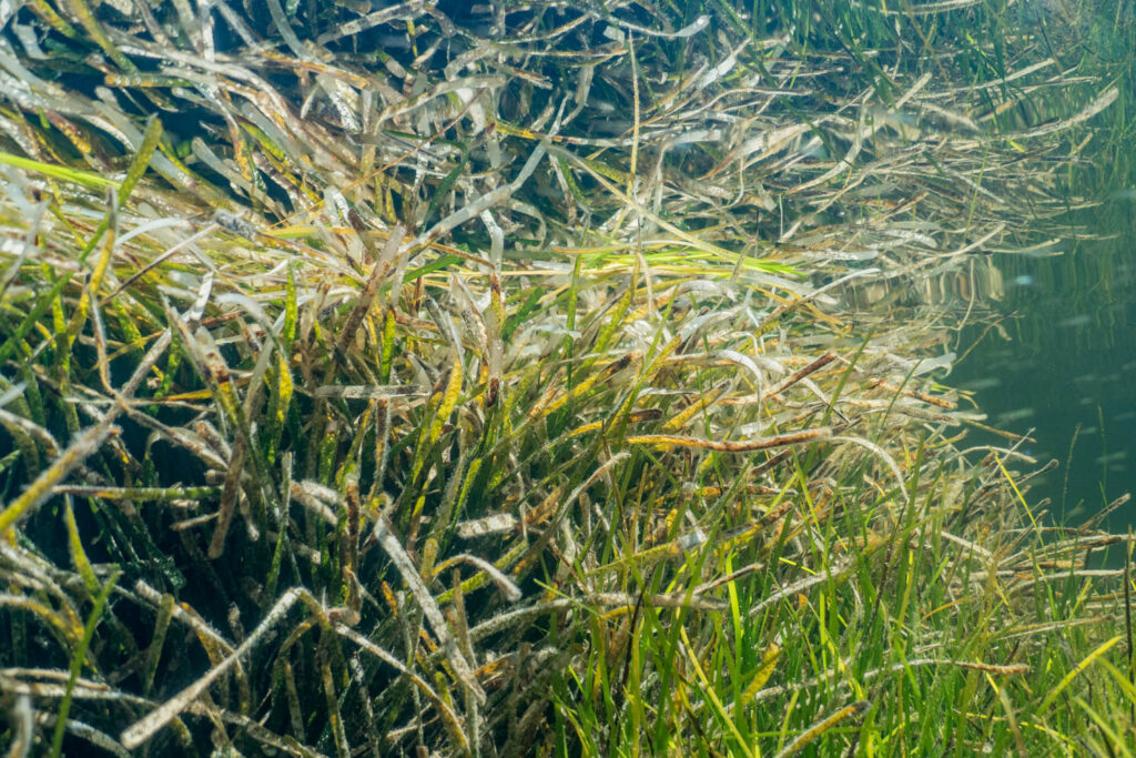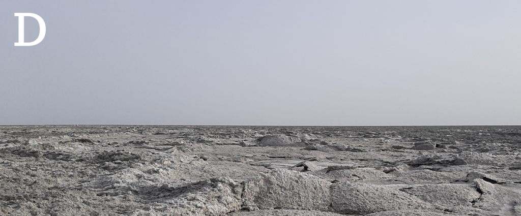
As lakes, reservoirs, and wetlands dry up, they become more saline and expose previously submerged sediments to the atmosphere, altering the biogeochemistry of these systems and the ecosystem services they provide. This phenomenon has significant consequences for the carbon cycle, as dried-up lakes contribute to the release of carbon into the atmosphere.
Over the past decade, the research teams involved in this project have made fundamental contributions to understanding the impacts of desiccation on the carbon cycle, with key studies on CO2 and CH4 emissions from exposed sediments. Their research has shown that organic carbon stocks in bottom sediments are mobilized as water levels decline, identifying temperature, humidity, and organic matter content as the main environmental controls. However, several key questions remain unanswered, such as how sedimentary organic carbon, microbial communities, and inorganic carbon dynamics influence carbon emissions in dried-up lakebeds. Furthermore, the processes governing CO2 fluxes, including unexpected CO2 uptake events, are not yet fully understood.
DryingLake builds upon this existing knowledge to fill these gaps and develop a comprehensive understanding of how environmental factors such as salinity, alkalinity, sediment properties, and microbial activity impact the carbon cycle in drying lakes. The team will investigate five key hypotheses, including the roles of salinity and nutrient availability in organic carbon remobilization, the impact of inorganic carbon precipitation on lake carbon dynamics, and the importance of CO2 uptake events as abiotic processes.
Ultimately, the project aims to integrate these processes to assess carbon balances in drying lentic ecosystems and determine their role in regional carbon inventories. To this end, the Aral Sea, a prime example of desiccation, will be investigated, along with other regions, such as the Iberian Peninsula and the Caspian Sea, which face similar risks of desiccation, potentially exacerbating the problem of carbon emissions from inland waters.
This project is crucial for understanding and predicting the vulnerability of lakes to carbon loss due to desiccation, and for quantifying the contribution of dry lakebeds to anthropogenic carbon emissions, especially in the context of land-use change and climate change.
Researchers: Rafael Marcé (IP), Daniel Mercado-Bettín, Kraty Sharma, Xavier Triadó.
Competitive project.