Coastal ecosystems, such as wetlands and seagrass meadows, play a key role in climate change mitigation thanks to their high capacity for carbon sequestration and storage, known as blue carbon. In addition, they provide essential ecosystem services such as protection against erosion and flooding, while supporting high levels of biodiversity.
The BlauCat project aims to assess the current status of blue carbon in Catalonia’s coastal ecosystems and contribute to the development of an action plan for their conservation and restoration, as a tool to support public policies for climate change mitigation and adaptation. The project will generate a homogeneous and georeferenced database on blue carbon stocks and fluxes at the regional scale, as well as an analysis of the restoration potential of these ecosystems.
BlauCat combines fieldwork, sediment analysis, review of existing data, spatial modelling, and mapping to quantify carbon stocks and fluxes in wetlands and seagrass meadows, identify the main environmental pressures, and evaluate future scenarios under different management and climate change conditions. The results will help identify priority areas for conservation and restoration, integrating criteria related to climate mitigation, coastal adaptation, and biodiversity.
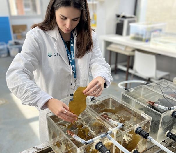
The project is coordinated by Eurecat through the Climate Solutions and Ecosystem Services Unit (CLIMSES), with the participation of CEAB-CSIC and CREAF. The Eurecat team leads the assessment of carbon stocks in Catalonia’s wetlands through systematic sampling of the main wetland areas, while CEAB-CSIC is responsible for the study of blue carbon in seagrass meadows.
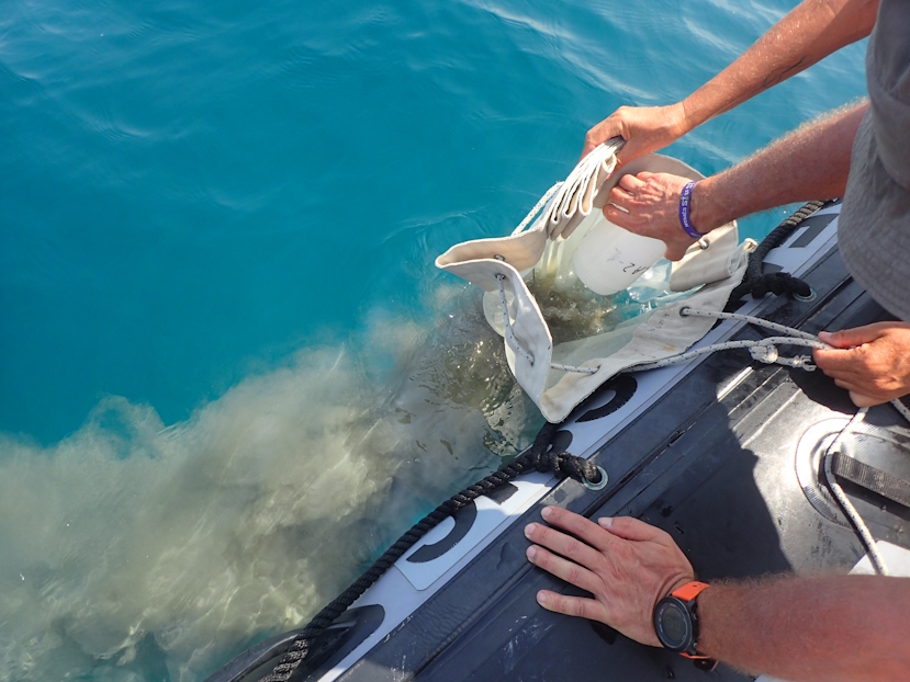
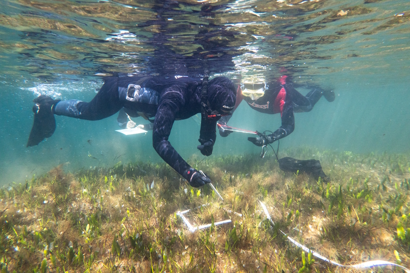
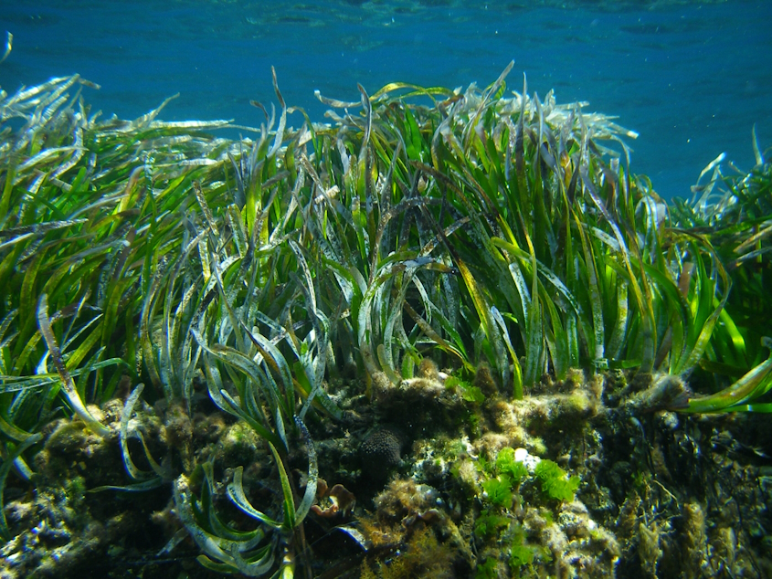
Specifically, CEAB-CSIC carries out field campaigns and sediment analyses in Posidonia oceanica and Cymodocea nodosa meadows, compiles and integrates existing datasets, and coordinates the spatial modelling of carbon stocks and fluxes in marine ecosystems along the entire Catalan coast. In addition, CEAB actively participates in the drafting and scientific review of the Catalonia Blue Carbon Action Plan, contributing to ensuring its scientific robustness and coherence between terrestrial and marine ecosystems.
The results of the BlauCat project will contribute to strengthening the resilience of the Catalan coastline to climate change, conserving coastal ecosystems, and defining restoration strategies based on scientific evidence.
CEAB-CSIC’s team:
Jordi Pagès (IP), Òscar Serrano, M. A. Mateo, Teresa Alcoverro.